History & Motivation
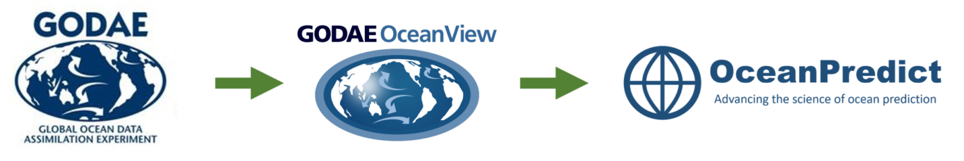
From GODAE to OceanPredict
OceanPredict is an international research and development network to accelerate, strengthen and increase the impact of ocean prediction. Ocean prediction is an essential component in the provision of routine oceanographic information for decision making purposes (defined as operational oceanography). OceanPredict started in 1998 as the Global Ocean Data Assimilation Experiment (GODAE) motivated by the Ocean Observation Panel for Climate (OOPC). The purpose was to demonstrate the feasibility and value of ocean observations systems through assimilation of observations into state-of-the-art ocean models for analysis and prediction purposes. GODAE ended in 2008 after a decade of successfully developing tools and demonstrating the utility of the ocean observing system for assimilating observations into state-of-the-art models of the global ocean circulation in near real-time.
In 2009, GODAE transitioned to GODAE OceanView (GOV), with the mandate to further mature the underpinning science of operational oceanography in support of an enhanced utility of associated products to end users. GOV played a major role in the increased development of global operational oceanography capability. From 2009 to 2019, global ocean and ice modelling and data assimilation systems were progressively improved, implemented and inter-compared. In-situ and satellite data are now routinely assimilated into global and regional ocean models providing an integrated description of the current and future ocean state. Observations, analysis and forecast products are readily accessible through major data and product servers, providing utility for many different applications, from marine environmental monitoring, weather forecasting, seasonal and climate prediction, ocean research, maritime safety and pollution forecasting to defence, oil & gas industry, fisheries management and many other applications
In 2019, GOV was renamed OceanPredict to emphasize the science and development network for ocean prediction within an overall operational oceanography context. Here we define operational oceanography as being the provision of routine oceanographic information needed for decision-making purposes. The components of operational oceanography systems are identified as a multi-platform observation network, a data management system, a data assimilative prediction system, a dissemination/accessibility system as well as end users. In other words, operational oceanography is the value chain from ocean observations to end use.
Thus, for the next decade, Ocean Predict will advance ocean prediction science and operational capacity and partner with international entities to maximise the impact of operational oceanography outcomes on marine science, sustainable marine economies, and society. These partnership interactions are essential in making operational oceanography relevant during the UN decade of Ocean Sciences for sustainable development. The rapidly growing public awareness of the threats posed by climate change presents the opportunity for OceanPredict to provide societal benefit in supporting sustainable development, enhanced resilience and blue economy growth.